
Land clarity should come before money, construction or division.
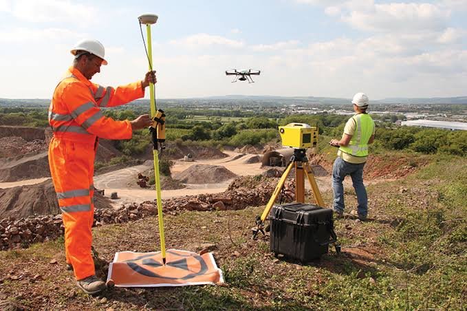
A land survey is often requested when something important is about to happen: a purchase, a compound wall, a family partition, a house plan, a conversion application or a development project. Gridworld helps reduce guesswork before that decision becomes expensive.